Ordnance Survey Explorer OL17 Map Snowdon & Conwy Valley
Ordnance Survey Explorer OL17 Map Snowdon & Conwy Valley
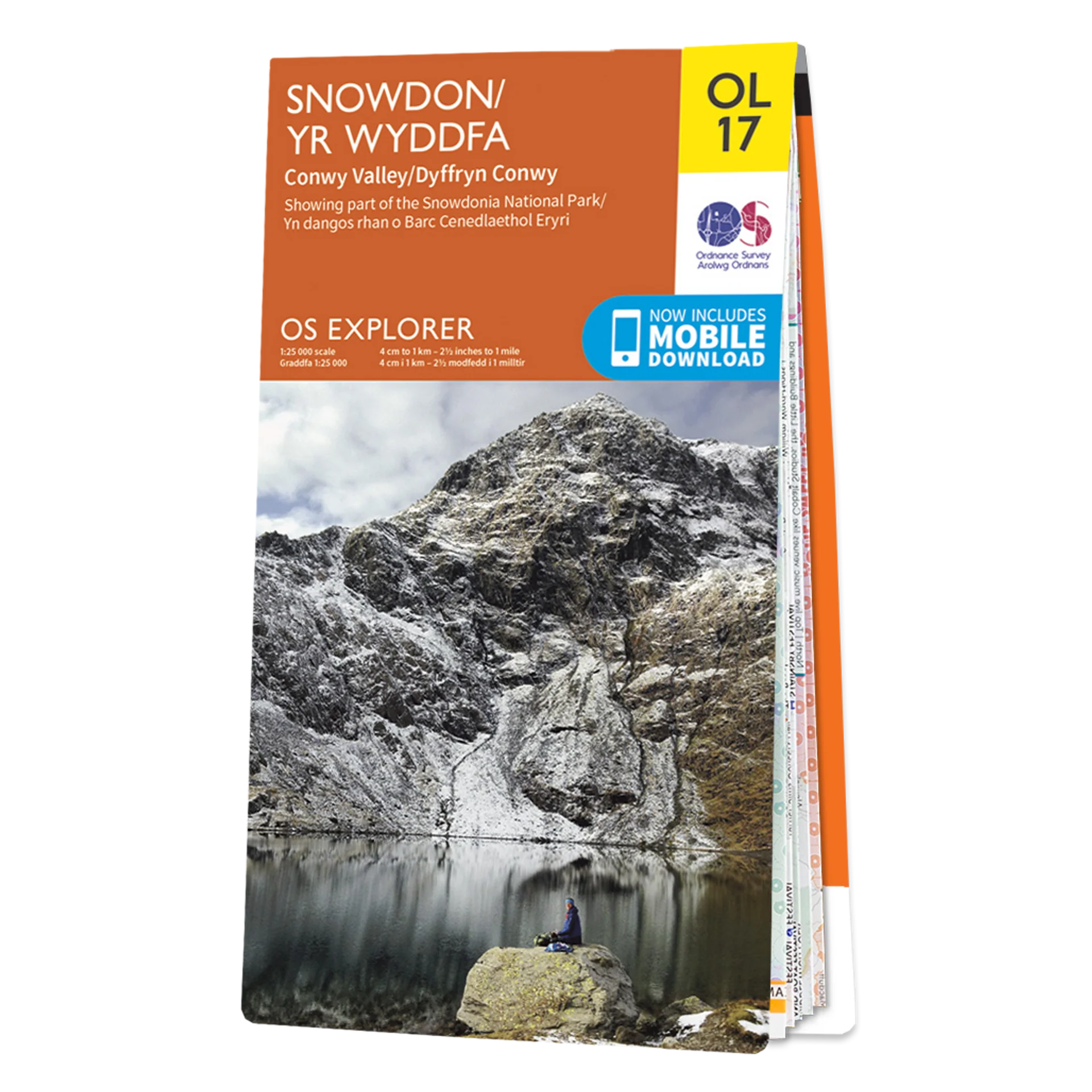
This Ordnance Survey Explorer OL17 Map is ideal for walkers, climbers, horse riding, and off-road cycling with its detailed paper folded map. Whether you're exploring, Northern Snowdonia & Conwy Valley you'll have all the information you need at your fingertips. Rights of way, fences, permissive paths and bridleways are clearly shown, ensuring you have the best information to get the most out of your time in the countryside. Perfect for outdoor enthusiasts.
This map now comes with a digital version which you can download to your smartphone or tablet.
This map covers Northern Snowdonia in both English & Welsh. It contains key information so you can immerse yourself among the beautiful valleys and discover the majestic mountainside. It has six routes to the summit, providing lots of options to explore the largest mountain in Wales.
Featuring:
- North Wales Path
- Isle of Anglesey Coastal Path / Llwybr Arfordirol Ynys Mon Bangor
- Betws-y-coed
- Caernarfon Conwy Llandudno
- Snowdonia National Park Gwynedd
- Clwyd
- Format: Folded map
- Physical Size: 1000 x 890 mm (134 x 227 mm folded)
- 1:25 000 scale (4 cm to 1 km – 2.5 inches to 1 mile)
Conwy Valley Showing parts of the Snowdonia National Park
Ordnance Survey Explorer OL17 Map Snowdon & Conwy Valley
This Ordnance Survey Explorer OL17 Map is ideal for walkers, climbers, horse riding, and off-road cycling with its detailed paper folded map. Whether you're exploring, Northern Snowdonia & Conwy Valley you'll have all the information you need at your fingertips. Rights of way, fences, permissive paths and bridleways are clearly shown, ensuring you have the best information to get the most out of your time in the countryside. Perfect for outdoor enthusiasts.
This map now comes with a digital version which you can download to your smartphone or tablet.
This map covers Northern Snowdonia in both English & Welsh. It contains key information so you can immerse yourself among the beautiful valleys and discover the majestic mountainside. It has six routes to the summit, providing lots of options to explore the largest mountain in Wales.
Featuring:
- North Wales Path
- Isle of Anglesey Coastal Path / Llwybr Arfordirol Ynys Mon Bangor
- Betws-y-coed
- Caernarfon Conwy Llandudno
- Snowdonia National Park Gwynedd
- Clwyd
- Format: Folded map
- Physical Size: 1000 x 890 mm (134 x 227 mm folded)
- 1:25 000 scale (4 cm to 1 km – 2.5 inches to 1 mile)
Conwy Valley Showing parts of the Snowdonia National Park
Original: $13.42
-65%$13.42
$4.70Description
Ordnance Survey Explorer OL17 Map Snowdon & Conwy Valley
This Ordnance Survey Explorer OL17 Map is ideal for walkers, climbers, horse riding, and off-road cycling with its detailed paper folded map. Whether you're exploring, Northern Snowdonia & Conwy Valley you'll have all the information you need at your fingertips. Rights of way, fences, permissive paths and bridleways are clearly shown, ensuring you have the best information to get the most out of your time in the countryside. Perfect for outdoor enthusiasts.
This map now comes with a digital version which you can download to your smartphone or tablet.
This map covers Northern Snowdonia in both English & Welsh. It contains key information so you can immerse yourself among the beautiful valleys and discover the majestic mountainside. It has six routes to the summit, providing lots of options to explore the largest mountain in Wales.
Featuring:
- North Wales Path
- Isle of Anglesey Coastal Path / Llwybr Arfordirol Ynys Mon Bangor
- Betws-y-coed
- Caernarfon Conwy Llandudno
- Snowdonia National Park Gwynedd
- Clwyd
- Format: Folded map
- Physical Size: 1000 x 890 mm (134 x 227 mm folded)
- 1:25 000 scale (4 cm to 1 km – 2.5 inches to 1 mile)
Conwy Valley Showing parts of the Snowdonia National Park